A proposed long-term community stewardship and acquisition initiative currently under development. No public financial participation program is currently being offered.
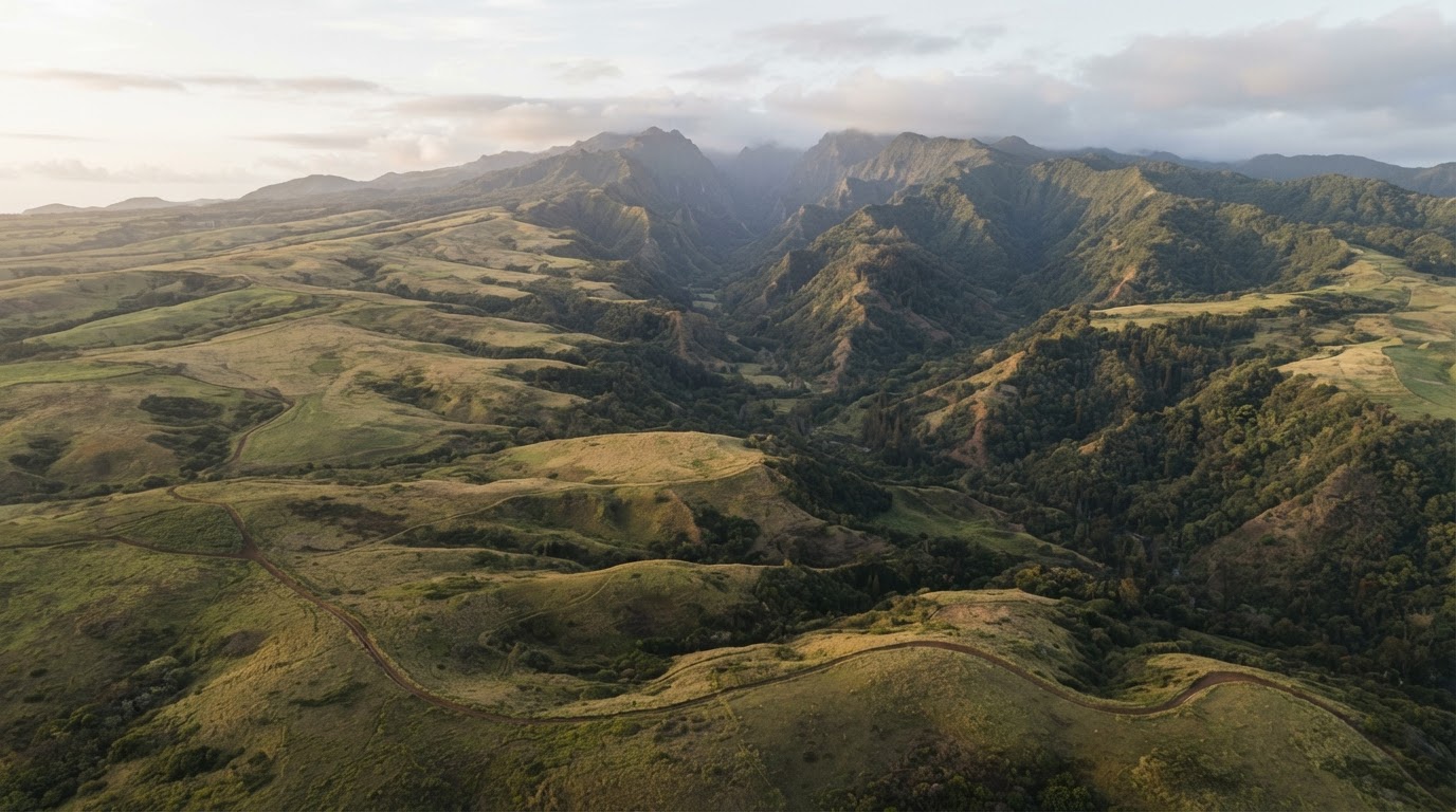
Interactive Property Overview
A map prepared for the future
This overview is designed for future GIS integration. The interactive map below is a placeholder container ready to connect to ArcGIS, Mapbox, Google Maps, or another mapping platform.
Toggle layers to preview the future map.
Legend
- Property boundaries
- Conservation areas
- Agricultural areas
- Watersheds
- Native forest
- Historic sites
- Roads
- Trails
- Community areas
- Restoration projects
Future Integration
Built for GIS, ready to connect
The map container above is prepared to receive a live mapping application. When GIS data is available, the same layers, legend, and controls will drive an interactive experience.
Boundaries and areas shown here are illustrative and conceptual only. They do not represent a survey, legal description, or current ownership, and no public financial participation program is currently being offered.
Follow the map as it develops
Subscribe for updates and we'll let you know when the interactive map goes live.