Watershed Restoration
Watershed Restoration
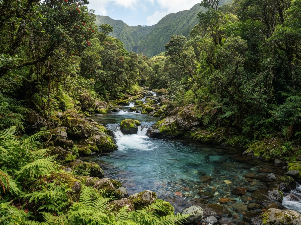
Healing the slopes that feed Molokaʻi's streams and aquifers.
A proposed long-term community stewardship and acquisition initiative currently under development. No public financial participation program is currently being offered.
Project Overview
Watershed Restoration
A watershed is the entire slope that catches rainfall and guides it to streams and aquifers. This project focuses on revegetating eroding uplands, protecting priority watershed areas, and supporting cleaner runoff and more reliable recharge for communities below.
Why It Matters
What happens at the top of the ridge determines the quality and quantity of water that reaches communities below. Bare, eroding uplands shed water and sediment; forested uplands absorb and filter it.
At a Glance
- Project Status
Conceptual — under development
Planning phase. No active revegetation underway.
- Acres Involved
To be determined
Watershed acreage will be defined after assessment. Figures are illustrative only.
- Location
Illustrative — upland slopes associated with Molokaʻi Ranch. Priority areas to be confirmed through hydrological assessment.
Project Goals
What this project is working toward
These are aspirational goals for the direction of the work, not commitments that every goal will be achieved.
Revegetate eroding upland slopes
Protect priority watershed areas
Support stream monitoring and sediment reduction
Improve long-term aquifer recharge conditions
Native Species
Species this work centers on
- Koa
- ʻŌhiʻa
- Hāpuʻu
- Native sedges and rushes
Timeline
Project phases
Phase 1 — Assess
Hydrological and erosion assessment.
Phase 2 — Protect
Protection of priority watershed areas.
Phase 3 — Revegetate
Replanting of eroding slopes.
Phase 4 — Monitor
Stream and runoff monitoring over time.
Partners
Who this work depends on
- To be confirmed — watershed partnerships and technical specialists.
Volunteer Opportunities
Ways to take part
Media
Photos & Video
Project video — to be added
A short project video will be added once documentation is available.
Reports
Project documents
Watershed Assessment Note
Preliminary assessment note. Illustrative draft.
Illustrative draftLatest Updates
Project news
—
No updates yet
Watershed updates will be posted here as assessment work proceeds.
Project Metrics
How progress could be tracked
The metrics below are preliminary and illustrative placeholders only. They do not represent actual progress and will be replaced with verified data once field work and monitoring begin.
Watershed acreage protected
0
IllustrativeAcres revegetated
0
IllustrativeStream monitoring points
0
IllustrativeKeep Exploring
Other restoration projects

Koa Forest Restoration
Returning the native canopy to Molokaʻi's upper slopes.
ʻIliahi Restoration
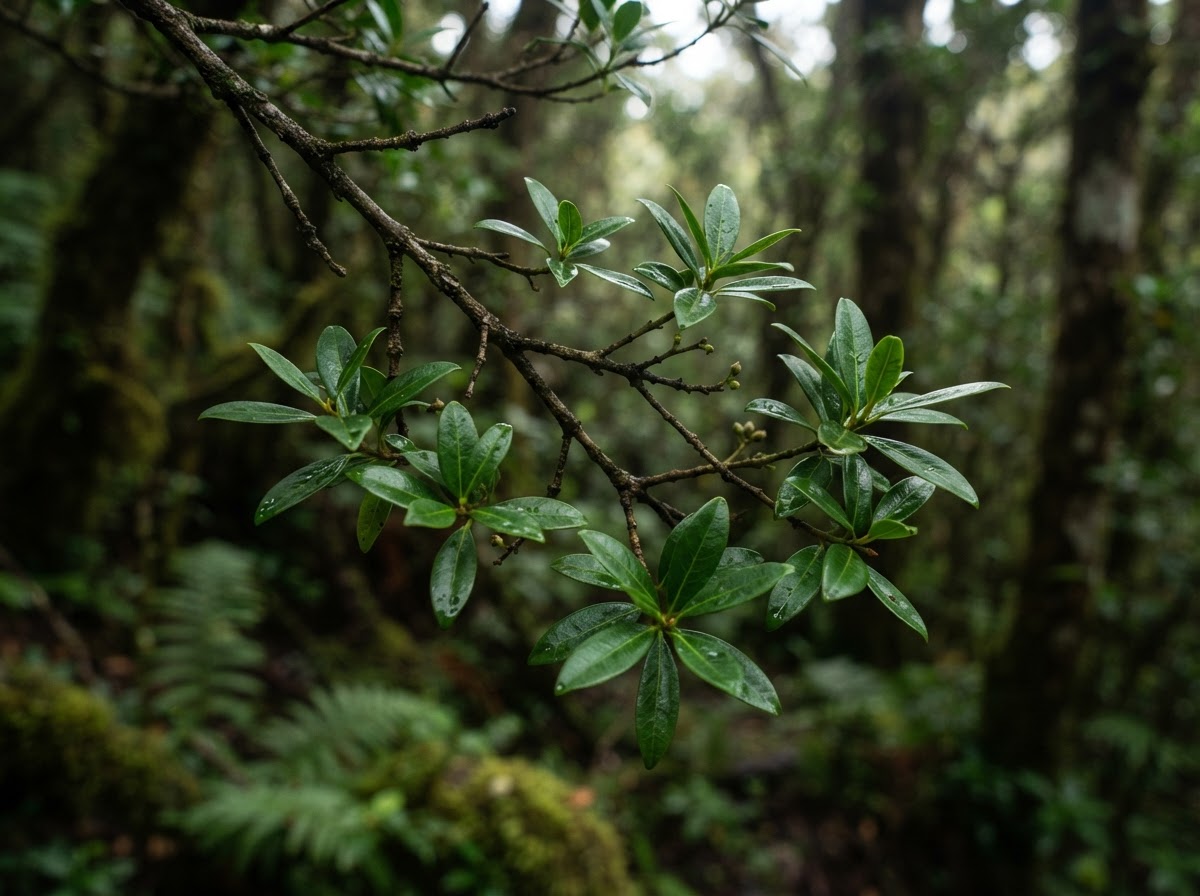
Working toward the return of native Hawaiian sandalwood.
Native Plant Restoration
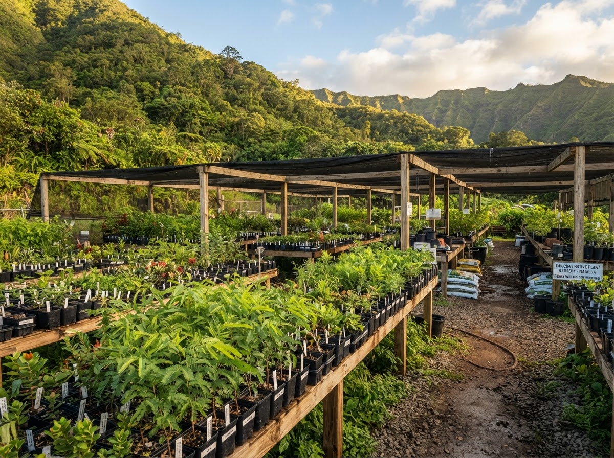
Rebuilding the understory that holds the whole forest together.
Wildlife Habitat
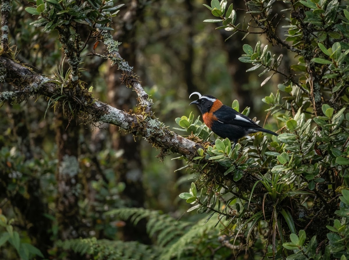
Restoring the conditions native species need to survive.
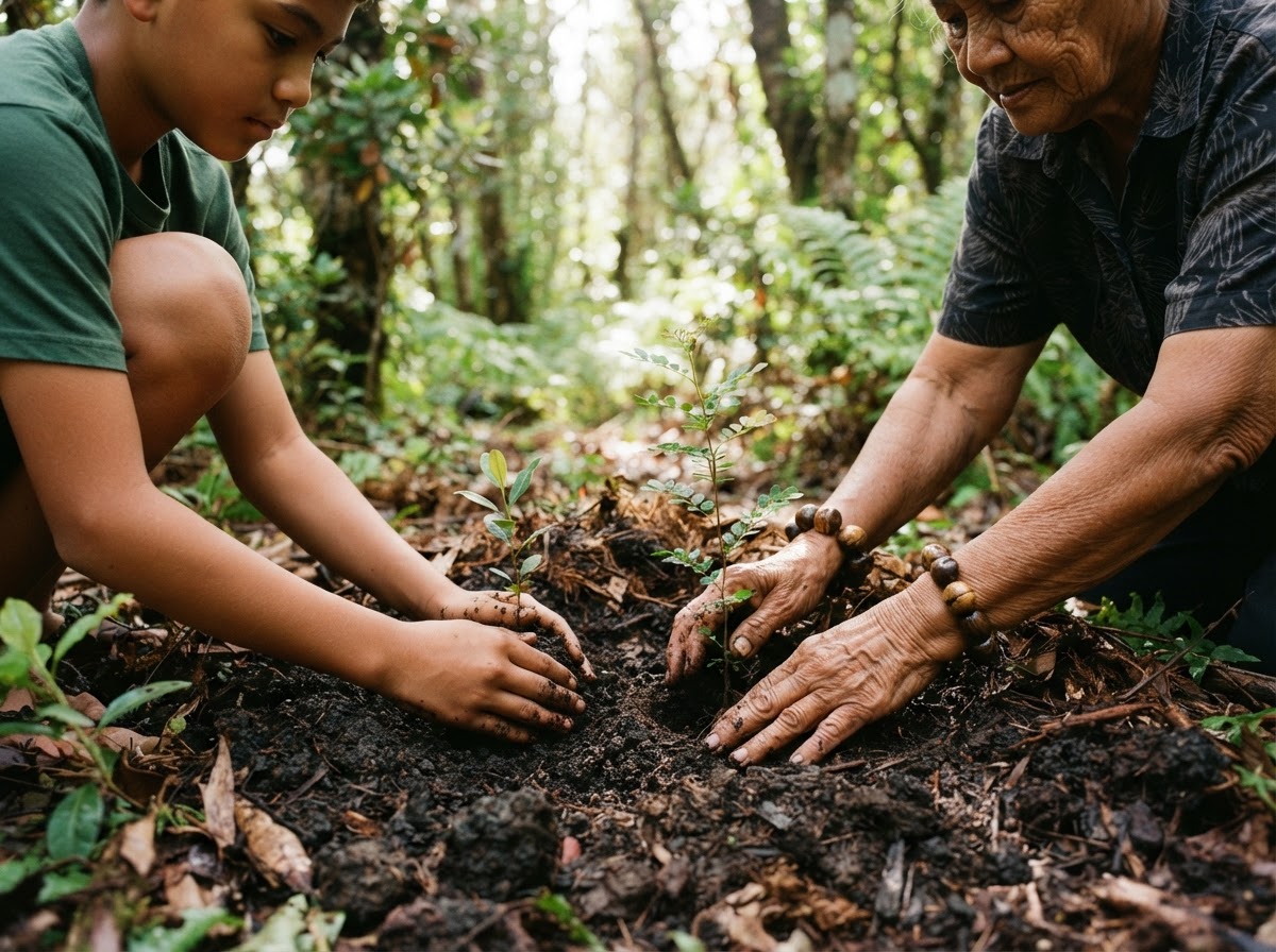
Community Volunteer Projects
Bringing kūpuna, keiki, and neighbors into the work of restoration.
Important Notice
This project page describes a concept under development. It is not a promise or guarantee that any specific project, outcome, or acreage will occur. All metrics, timelines, and status notes are preliminary and illustrative. This is a proposed long-term community stewardship and acquisition initiative currently under development. No public financial participation program is currently being offered.